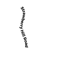
26 STRAWBERRY HILL RD
Owner Information
BOWER RICHARD M
26 STRAWBERRY HILL RD
NATICK, MA 01760


Property Details
26 STRAWBERRY HILL RD is classified as a Single Family Residential (Colonial).
The primary structure on this property was built in 1951. There is 1,882ft2 of residential/living space within this property. This property is listed as having 8 rooms.
26 STRAWBERRY HILL RD is valued at $548,300. The land is valued at $353,800 and the structures are valued at $194,500. There is an additional valuation of $270 on this property.
This property is in Zone RSC. Confirm with local Zoning Board authorities to ensure there are no overlays or other easements on this property.
The most recent deed for 26 STRAWBERRY HILL RD is recorded at the local registrar in Book 18591, Page 28. 26 STRAWBERRY HILL RD was last sold on Thursday, October 1, 1987 for $218,000.
Assessment data from fiscal year 2022.
Flood Data
According to the FEMA National Flood Hazard Layer, this property does not appear to be in a flood zone. It may also be in an area not yet reviewed. Nonetheless, confirm this information prior to taking any action.
To view the flood hazards around this property, create a FEMA "Firmette" Map of the area around 26 STRAWBERRY HILL RD.
Broadband Internet Providers
| Provider | Type | Bandwidth (mbps) | |
|---|---|---|---|
| Viasat Inc | Satellite | 100 | 3 |
| T-Mobile | Fixed Wireless | 25 | 3 |
| GCI Communication Corp. | Satellite | 0 | 0 |
| HughesNet | Satellite | 25 | 3 |
| VSAT Systems, LLC. | Satellite | 2 | 1 |
| RCN | Cable | 1000 | 20 |
| RCN | Cable | 500 | 20 |
| Crown Castle Fiber | Fiber | 0 | 0 |
| Comcast | Cable | 1000 | 35 |
| Verizon New England Inc. | Fiber | 940 | 880 |
| Verizon New England Inc. | DSL | 5 | 0 |
Broadband service provider data from December 2020.
Adjacent Properties
- 49 LEACH LANE
All land designated under Chapter 61 (not classified as Open Space) owned by HILLHURST TRUST - 49 LEACH LANE
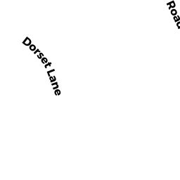
All land designated under Chapter 61 (not classified as Open Space) owned by HILLHURST TRUST - 1 DORSET LN
All land designated under Chapter 61 (not classified as Open Space) owned by CEDARS OPERATING COMPANY LLC - 28 STRAWBERRY HILL RD
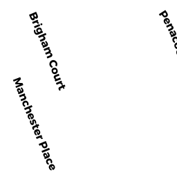
Single Family Residential owned by MARC NICOLAZZO REVOCABLE TRUST - 24 STRAWBERRY HILL RD
Single Family Residential owned by SULLIVAN PAUL C